Log in
All resources
Create a design
1,096,578 Free Images of Maps Of Battles
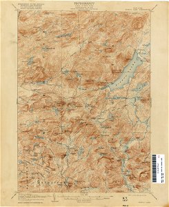
united states geological survey maps
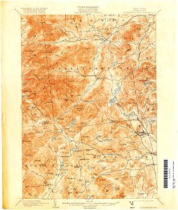
topographic maps of new york (state)
maps of the adirondack mountains
maps in the library of congress
old maps of new york (state)
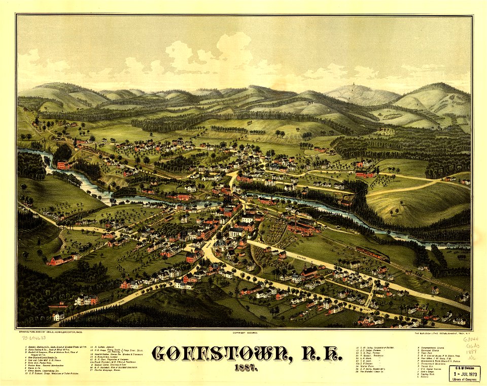
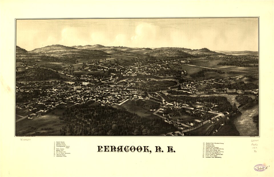
old maps of new hampshire
maps by george h. walker and company
1887 maps of new hampshire
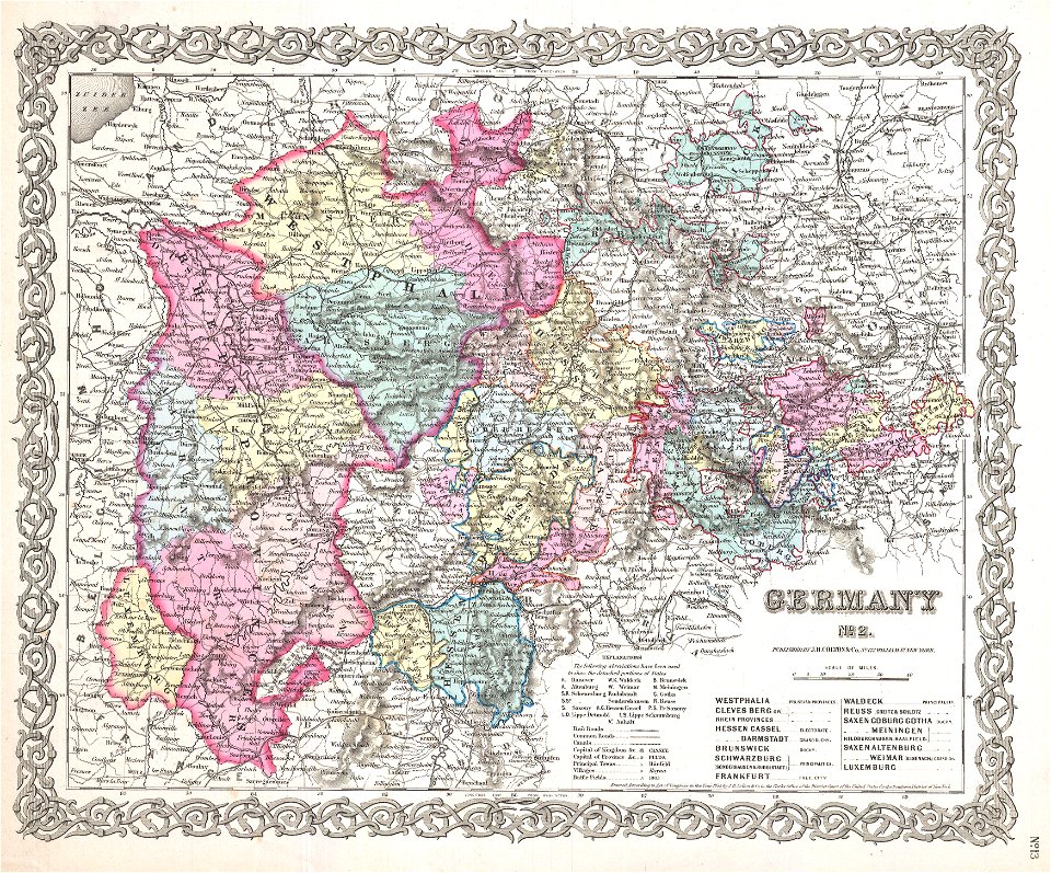
maps by joseph hutchins colton
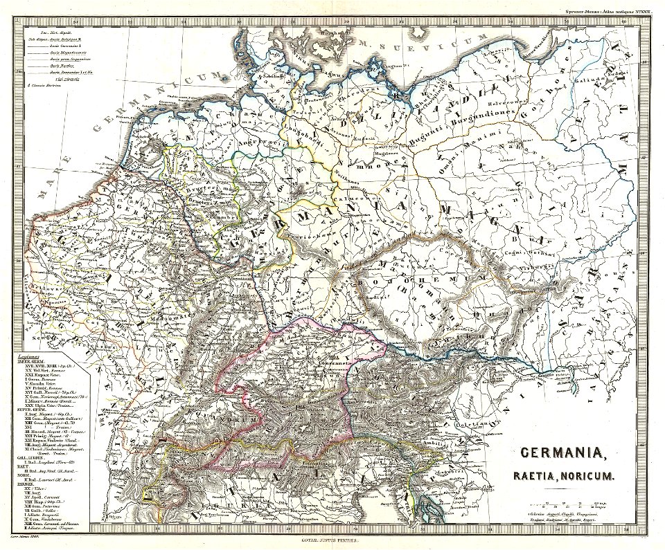
karl spruner von merz
maps by willem and johannes blaeu
atlas van loon
map images supported by wikimedia uk
1856 maps
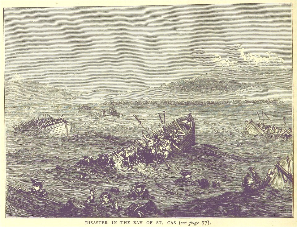
british battles on land and sea
1873 drawings
british battles on land and sea
1873 drawings
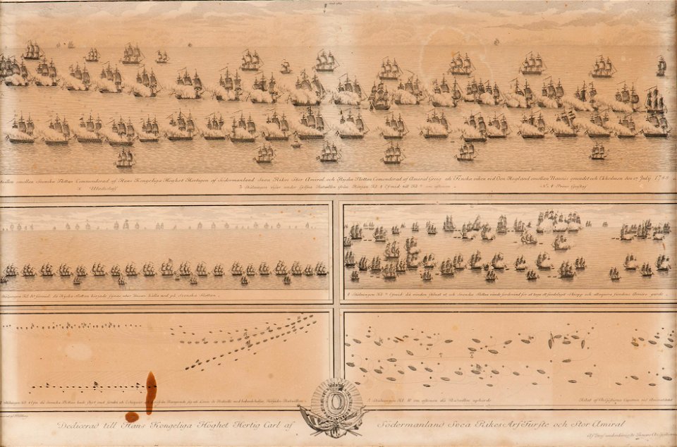
battle of svensksund
naval battles in art
british battles on land and sea
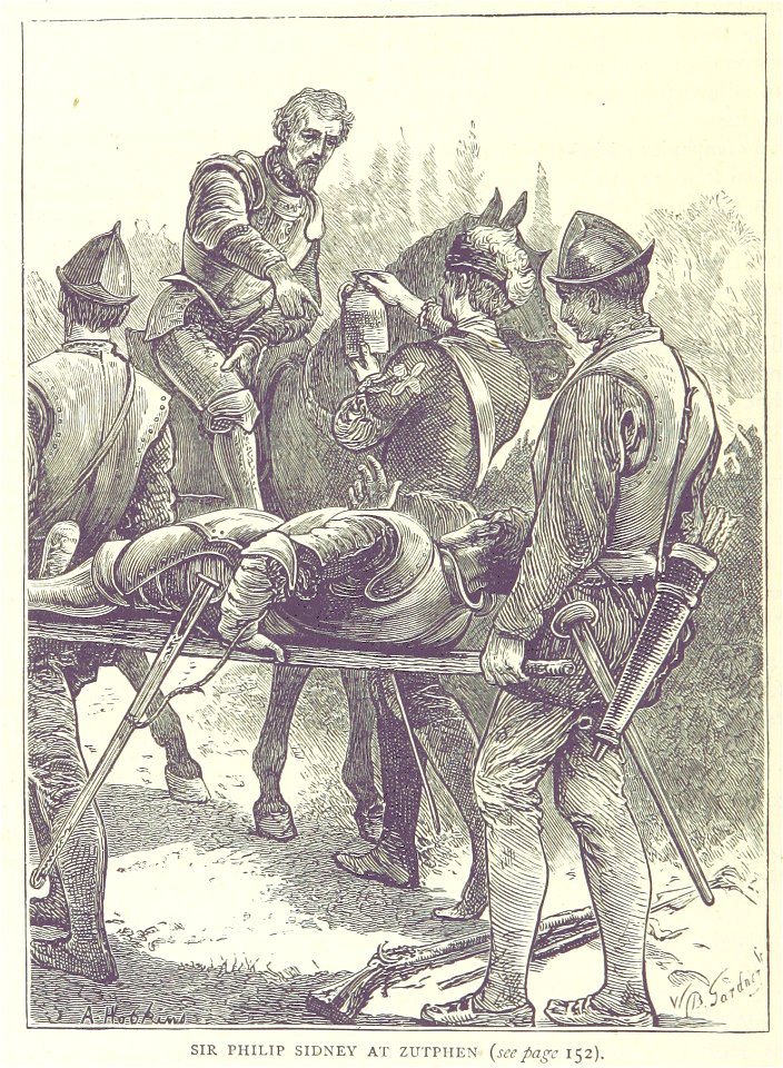
philip sidney
russo-swedish war (1788–1790)
naval battles in art
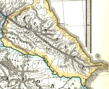
19th-century maps of the caucasus
1865 maps
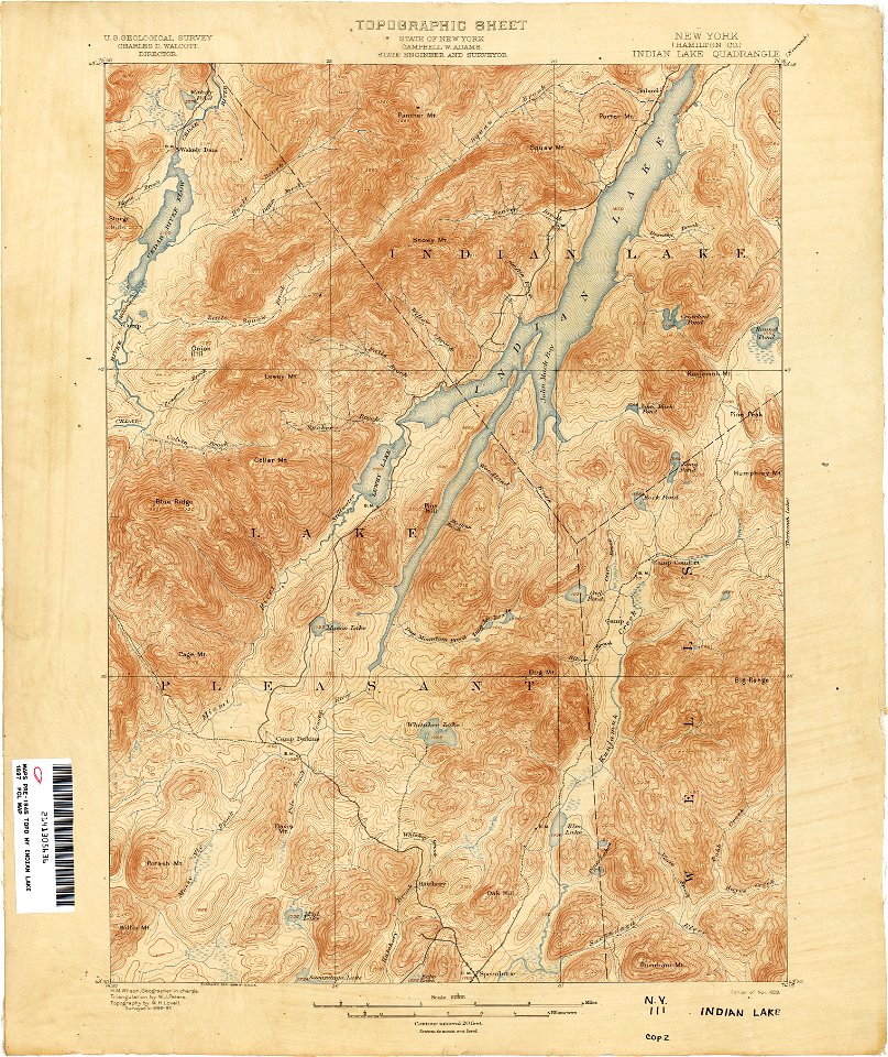
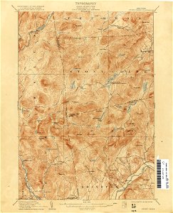
united states geological survey maps
old maps of new york (state)
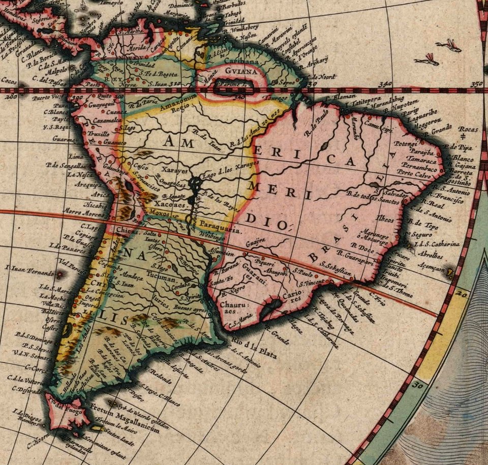
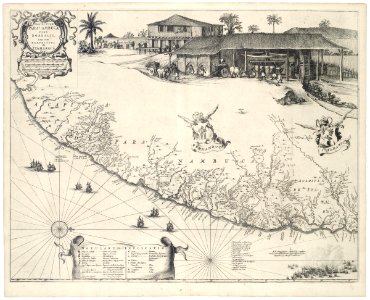
old maps of pernambuco
cornelis goliath
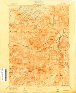
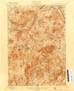
united states geological survey maps
old maps of new york (state)
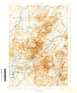
united states geological survey maps
old maps of new york (state)
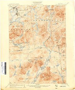
united states geological survey maps
topographic maps of new york (state)
llanbadarn fawr
ceredigion
united states geological survey maps
old maps of new york (state)
united states geological survey maps
old maps of new york (state)
united states geological survey maps
old maps of new york (state)
united states geological survey maps
old maps of new york (state)
united states geological survey maps
old maps of new york (state)
united states geological survey maps
old maps of new york (state)
united states geological survey maps
old maps of new york (state)
united states geological survey maps
old maps of new york (state)
united states geological survey maps
old maps of new york (state)
united states geological survey maps
old maps of new york (state)
united states geological survey maps
topographic maps of new york (state)
maps in the library of congress
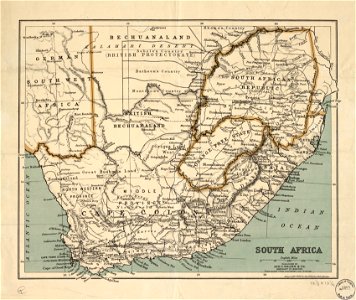
old maps of south africa
united states geological survey maps
old maps of new york (state)
united states geological survey maps
old maps of new york (state)
maps in the library of congress
old maps of south africa
united states geological survey maps
old maps of new york (state)
united states geological survey maps
old maps of new york (state)
united states geological survey maps
old maps of new york (state)
united states geological survey maps
old maps of new york (state)
united states geological survey maps
old maps of new york (state)
fonds ancely - bibliothèque municipale de toulouse - maps
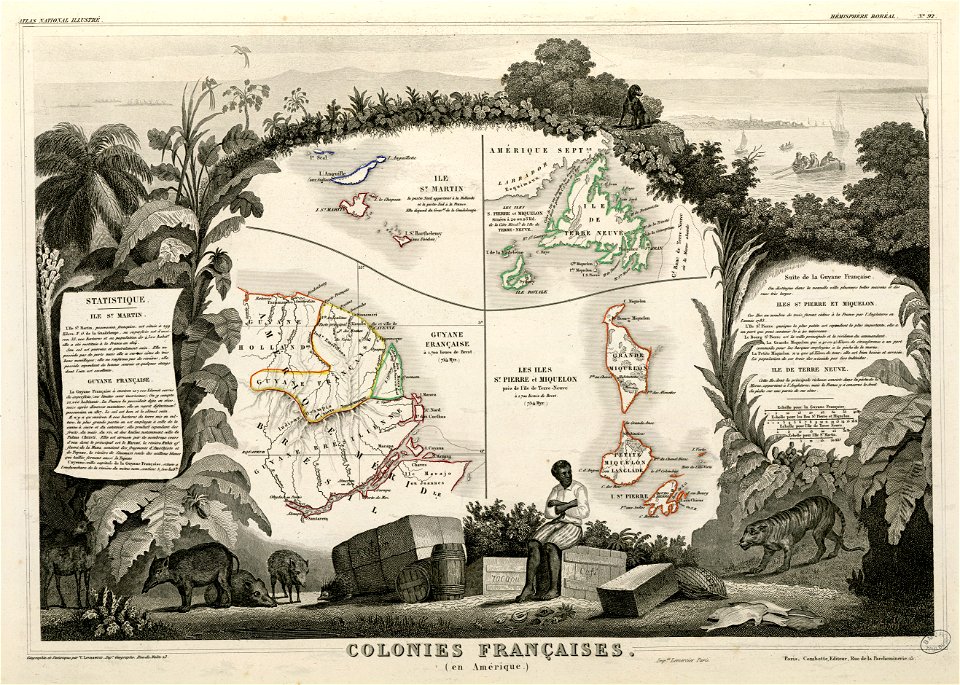
old maps of guyana
united states geological survey maps
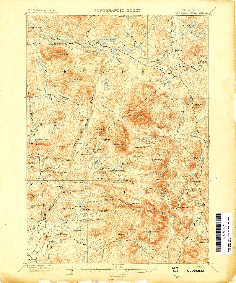
topographic maps of new york (state)
maps in the library of congress
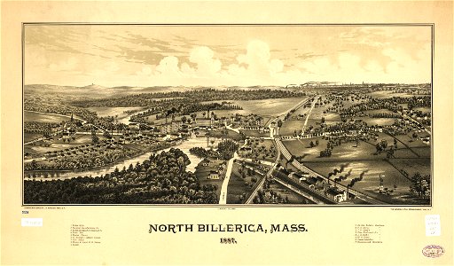
old maps of massachusetts
maps in the library of congress
old maps of massachusetts
united states geological survey maps
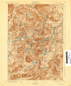
topographic maps of new york (state)
united states geological survey maps
old maps of new york (state)
united states geological survey maps
topographic maps of new york (state)
united states geological survey maps
old maps of new york (state)
united states geological survey maps
old maps of new york (state)
united states geological survey maps
old maps of new york (state)
wisconsin
watertown
united states geological survey maps
old maps of new york (state)
old maps of iceland
kraken
maps in the library of congress
old maps of new york (state)
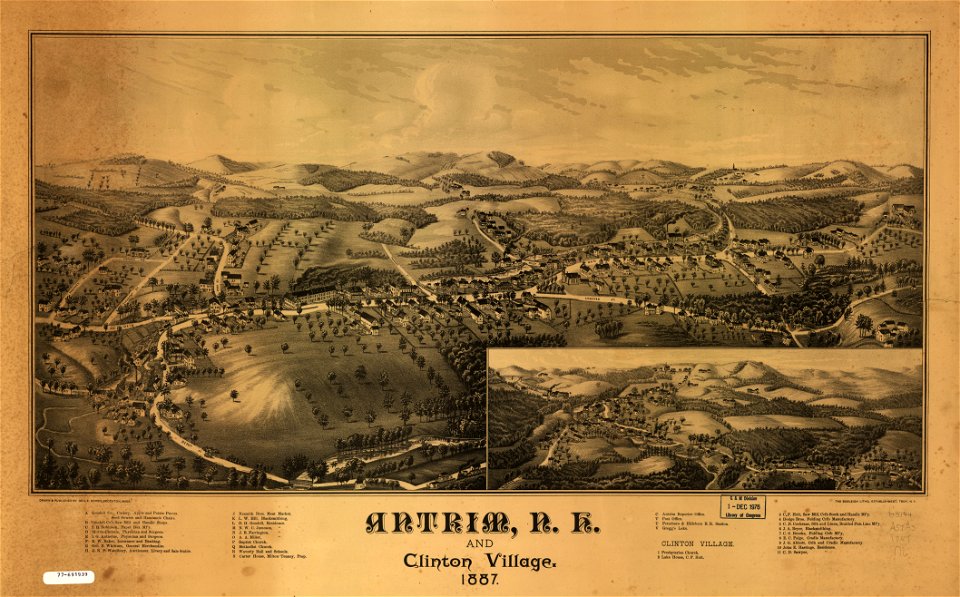
old maps of new hampshire
1908 maps
old maps of new hampshire
1908 maps
old maps of new hampshire
1908 maps
old maps of new hampshire
1908 maps
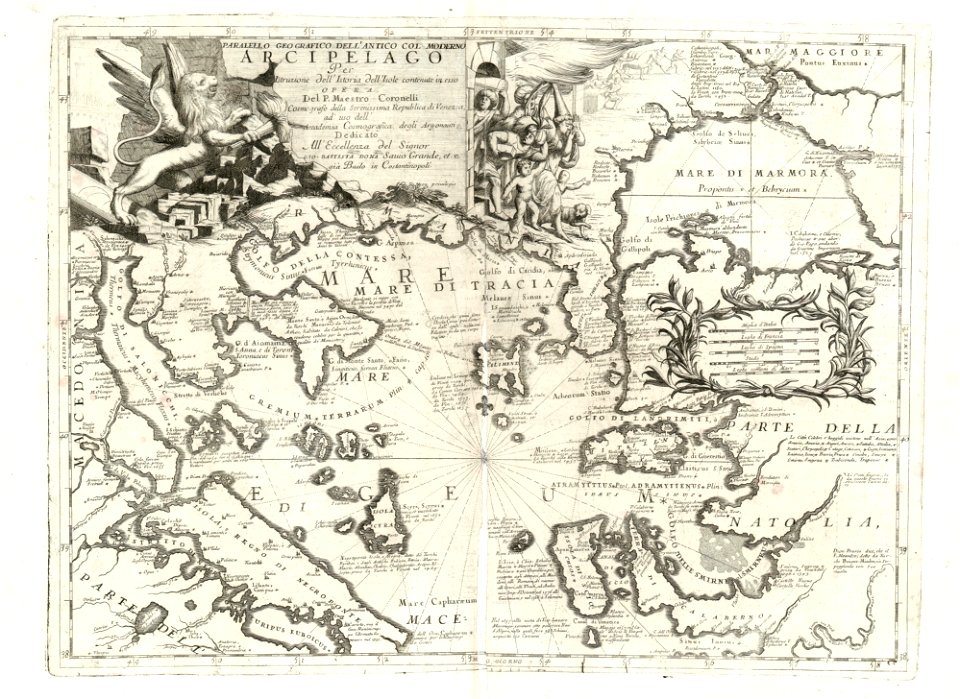
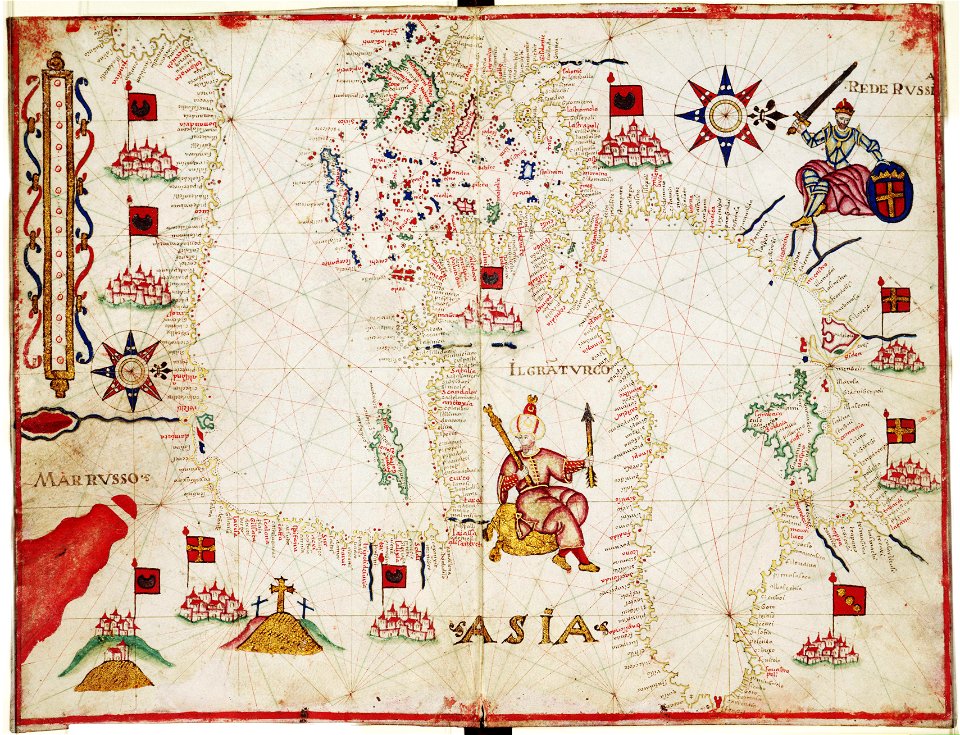
17th-century maps of the mediterranean sea
coats of arms on maps
maps by frederick de wit
1660s maps of the world
charts and maps of the royal museums greenwich
old maps of the aegean sea
singapore stone
1825 maps
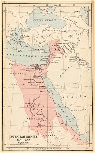
maps of the egyptian new kingdom
history of north africa
maps in the library of congress
florida
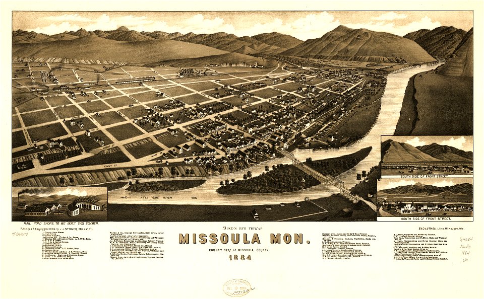
missoula
montana
missoula
montana
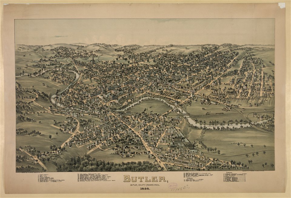
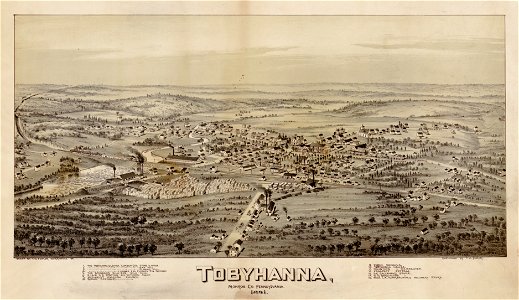
pennsylvania
butler
karl spruner von merz
1865 maps of europe
karl spruner von merz
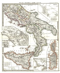
old maps of sardinia
massachusetts
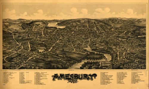
amesbury
massachusetts
amesbury
maps in the library of congress
old maps of new hampshire
maps in the library of congress
old maps of new hampshire
geographia blaviana
1659 maps
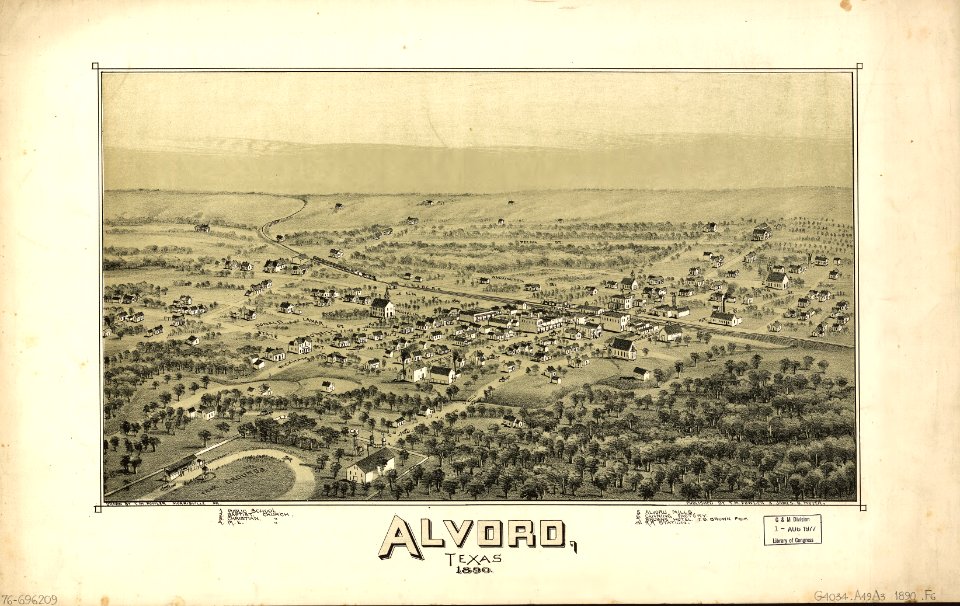
alvord
texas
maps in the library of congress
florida
17th-century maps of finland
17th-century maps of estonia
netherlands
peel
maps in the library of congress
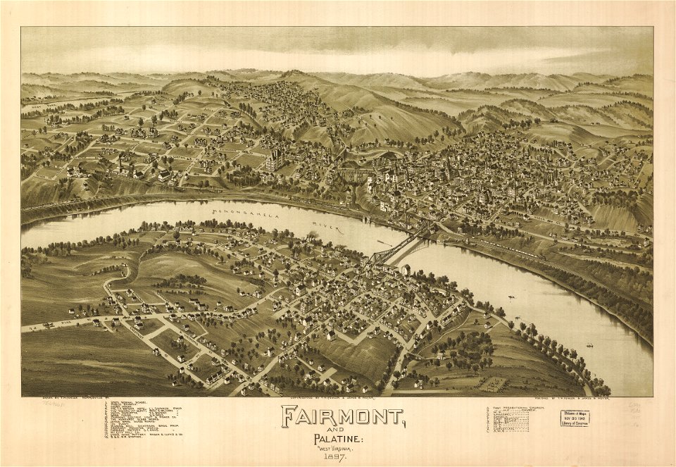
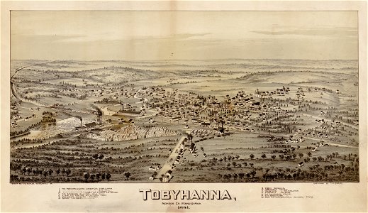
west virginia
maps in the library of congress
west virginia
maps in the library of congress
old maps of new hampshire
maps in the library of congress
old maps of new hampshire
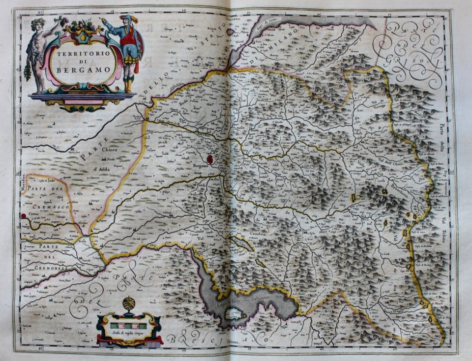
johann george schreiber
old maps of saxony
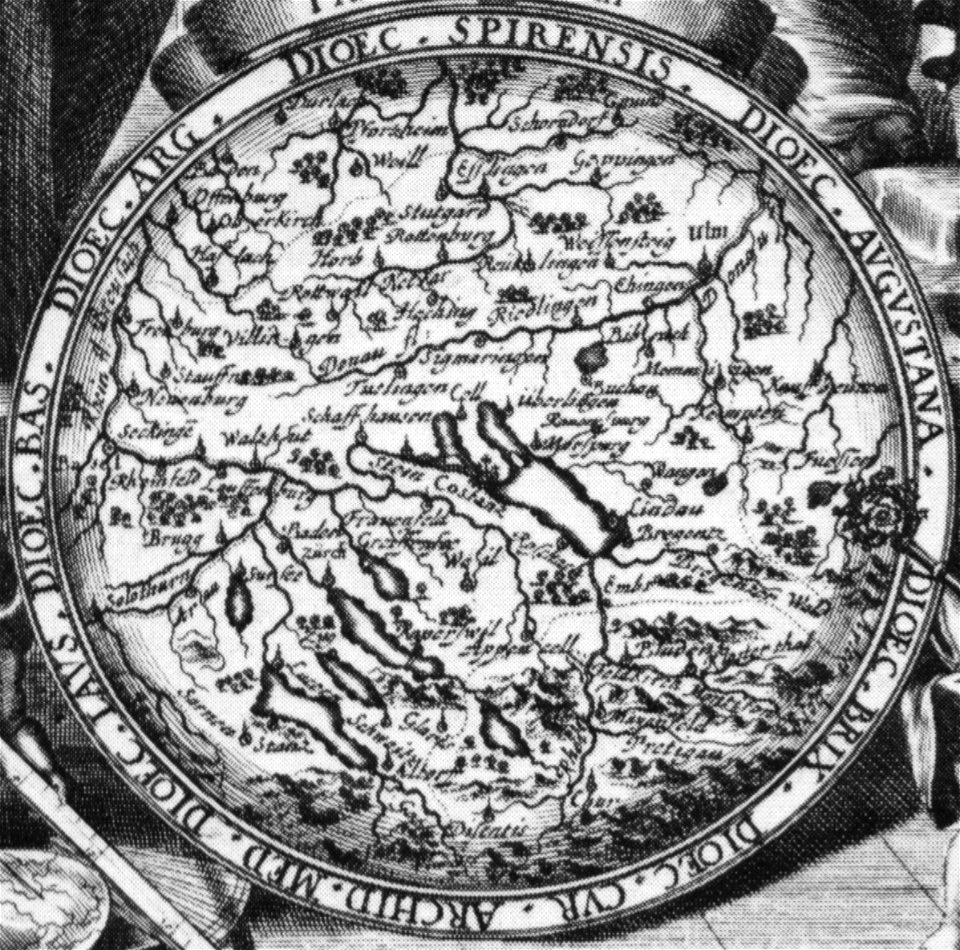
1700s maps of baden-württemberg
bishopric of constance
maps in the library of congress
pennsylvania
maps in the library of congress
old maps of pennsylvania
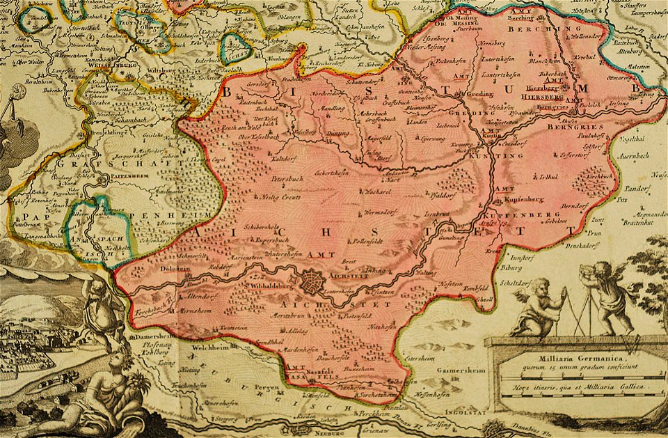
johann baptist homann
1717 maps
maps in the library of congress
old maps of new hampshire
maps in the library of congress
old maps of new hampshire
maps of the sea of marmara
vincenzo coronelli
maps in the library of congress
pennsylvania
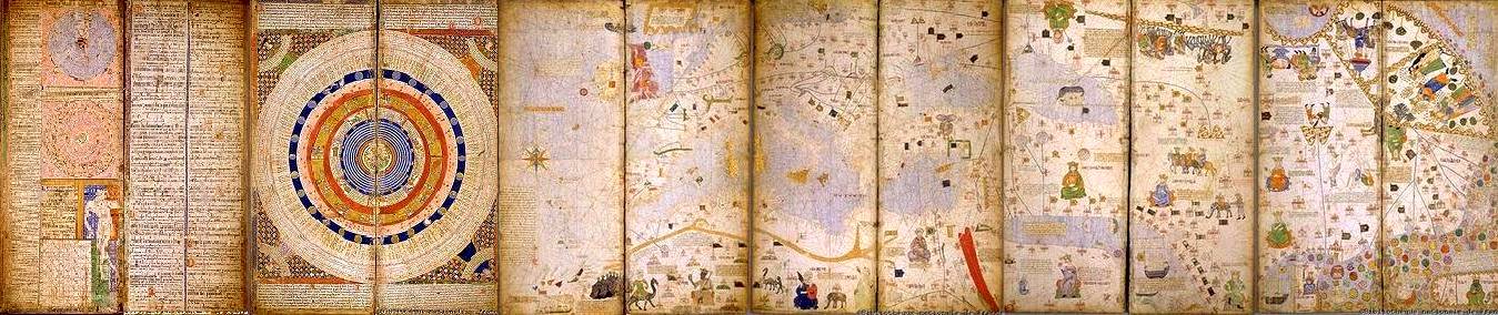
1375 maps of africa
catalan atlas
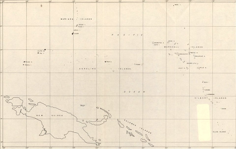
maps of islands of the pacific ocean
old maps of the pacific ocean
old maps of poland
1865 maps
18th-century maps of north carolina
north carolina
latin-language book pages
ptolemaic world maps
16th-century maps of the mediterranean sea
16th-century maps of the black sea
english-language maps
1814 maps
maps by jodocus hondius
prester john
maps by gerardus mercator
maps by jodocus hondius
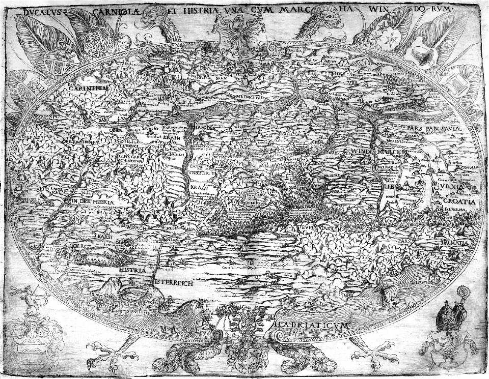
eagles in art
1561 maps
maps by joseph hutchins colton
1882 maps
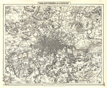
19th-century maps of london
1855 maps
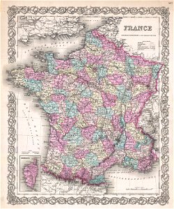
19th-century maps of france
1855 maps
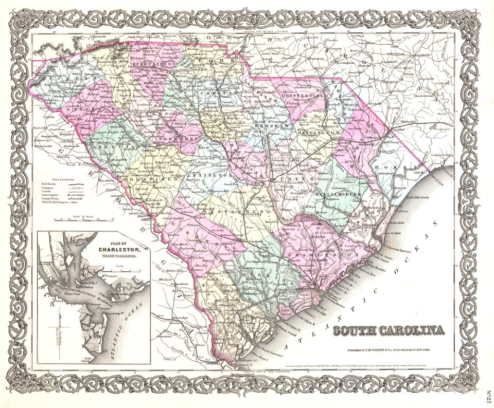
old maps of south carolina
1855 maps
maps by joseph hutchins colton
1855 maps
1701 - 1800 of 1,096,578
Next page
/ 10966